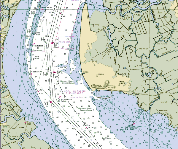
We have passed Reedy Point the entrance
to the C& D Canal and headed for the mouth of
the Delaware. We are just passing the Domes Salem
nuclear power plant on Artificial Island.
Latitude: 39*27'N
Longitude: 75*34'WWeather
Conditions: HHH-Hazy Hot and HUMID. High Pressure
with warm moist air blowing from the SW should
remain with us through Tuesday. SW Force 2 with
visibility reduced in the haze. Seas <1'.
Barameter reads 30.01 and steady with the
temperature of 30* C. A Cold Front will approach
the coast late Tuesday and predicted to remain
stationary. SW winds 15-20 knots with Seas 2' are
forecast through Tuesday.
At the moment we are making
good speed with a fair current for Cape Henlopen
(bottom of the chart image) where we will anchor
for the night. We plan to make Atlantic City at
the 1622 high water on Tuesday where we plan to
pick up two more participants from the Greater
Essex and Hudson Girl Scout Council.
Wind: SW Force 2
Visibility: Reduced in hot, hazy weather
Captain: Amanda
Madeira
Program Coordinator: Inette Rex
|