| UMASS BOSTON "Exploring the Coastal
Environment" Sailing
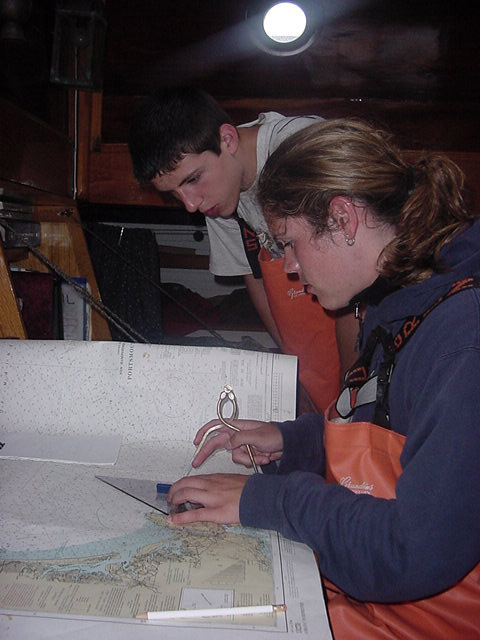
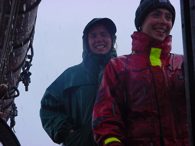
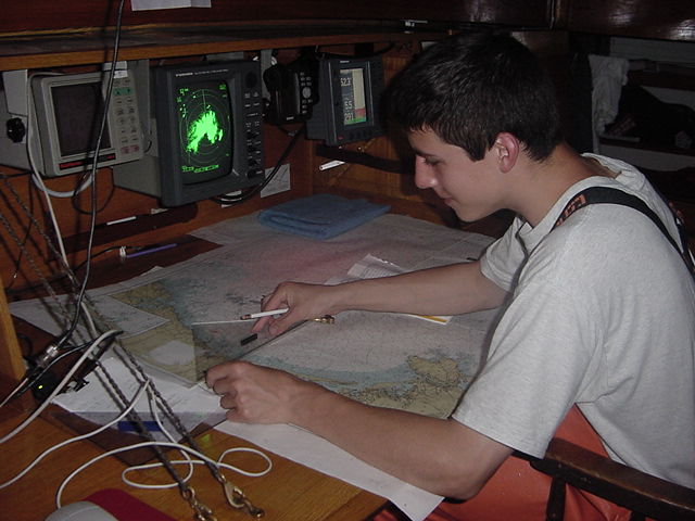
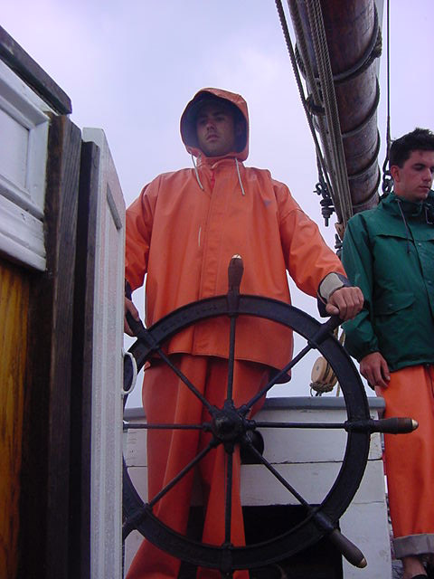
through the night went well with the new hands on
board despite the foggy, damp conditions. The
students are kept busy on watch learning
navigation, plotting our position on the chart,
rotating through bow watch, steering the ship and
hourly boat checks. Once the students and crew
are relieved from watch everyone heads staight
for their bunks to catch up on lost sleep. Before
lunch all hands participated in emergency drills
on board, an important requirement for a sail
training vessel.
The Drlls included "Fire
in the Forepeak", and a "Man
Overboard" drill. All hands walked through
an Abandon Ship Drill discussing the deployment
of the Liferafts, and Small Boat and 2 Dories.
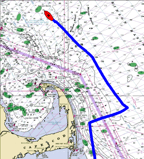
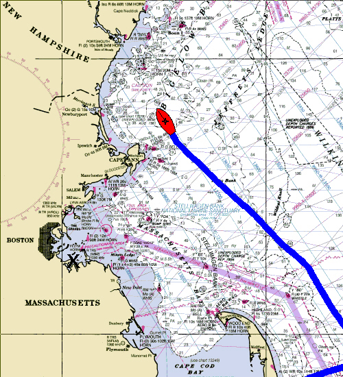
We proceeded through the fog
heading for the Isle of Shoals under the Four
Lowers, enjoying the Force 3 Southerly Breeze. A
couple of Minke Whales surfaced for a quick look
on their way south.
By late afternoon a front was
approaching the Boston area with high winds and
up to 4 inches of rain forecast. We fired up the
Main engine to pick up speed towards the Shoals.
By 1600, 13 miles south of the
Islands, the wind shift to North, and heavy
rain fell from the everchanging clouds that
swirled low around the vessel. At 1700, a small
18 foot power boat popped out of the the fog and
sped alongside. On board were 8 cold and wet
persons who announced they were
lost. The Coast Guard had been searching all day
for these people. The Mate set up a towline, and
we gave them some food, water, and spare clothing
and rain gear, and radioed our position to USCG
Station Portsmouth Harbor. 20 minutes later a
Coast Guard 41 footer arrived on scene, and
escorted the vessel to Rye Harbor.
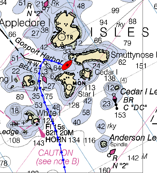
Ernestina arrived at Gosport
Harbor at 1930, and we anchored in the lee of
Smuttynose. The Front finally passed around
Midnight, and for the first time in 5 days the
visibility improved. The Coast of Maine and New
Hampshire appeared for those standing Anchor
watch on deck.
Captain: Willi Bank
Program Coordinator: Crista Mellican
|