|
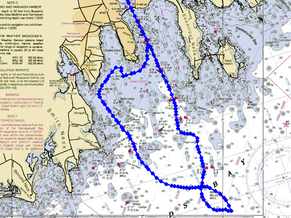
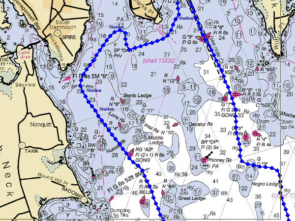
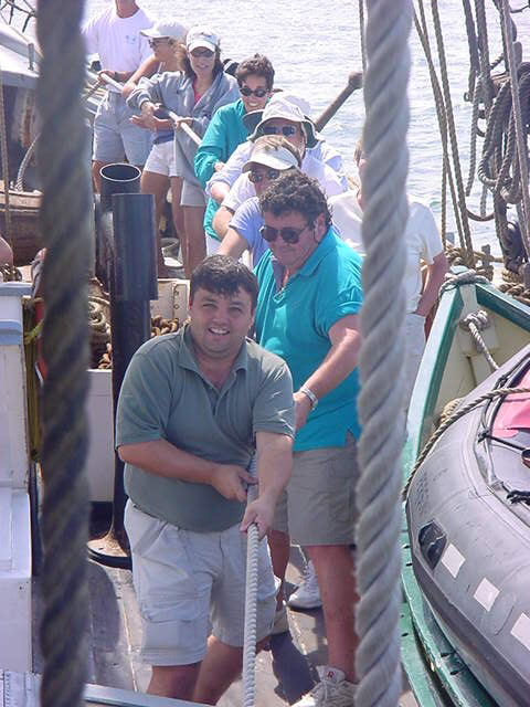
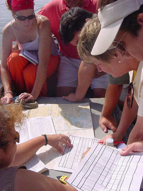
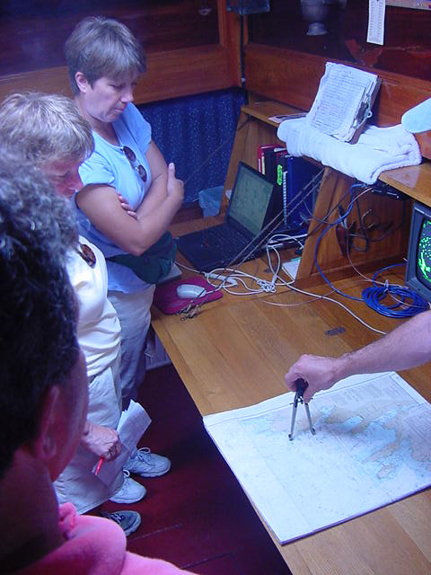
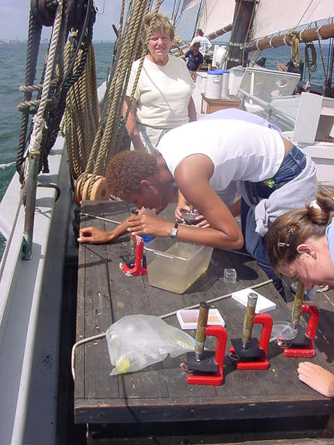
Ernestina Logbook Page Date: Wednesday, August 22, 2001 Maritime Mathematics Summer Content Institute for Teachers
|
|||||
|
||||||
 |
Copyright 1997-2001 |
|||||
|
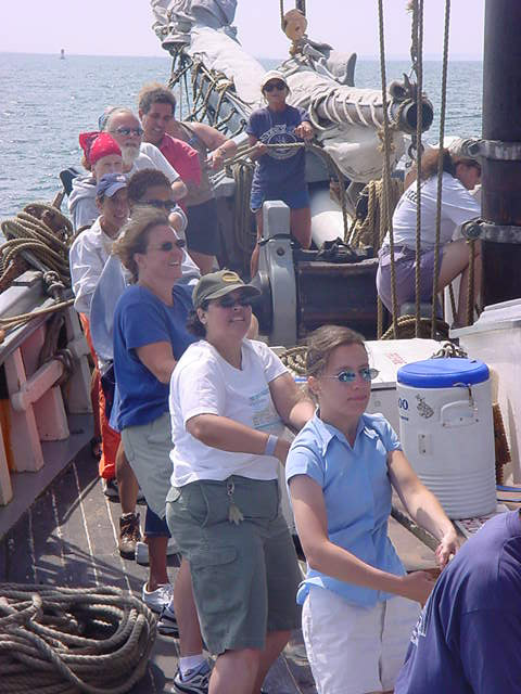
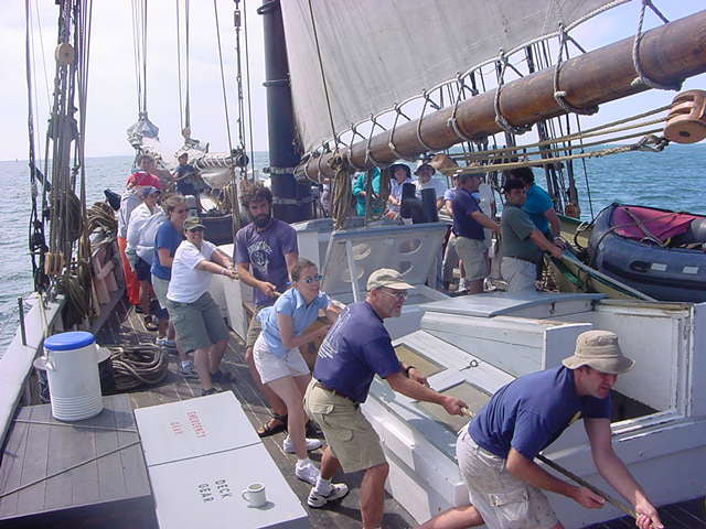
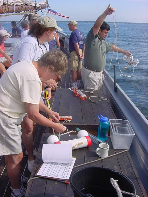
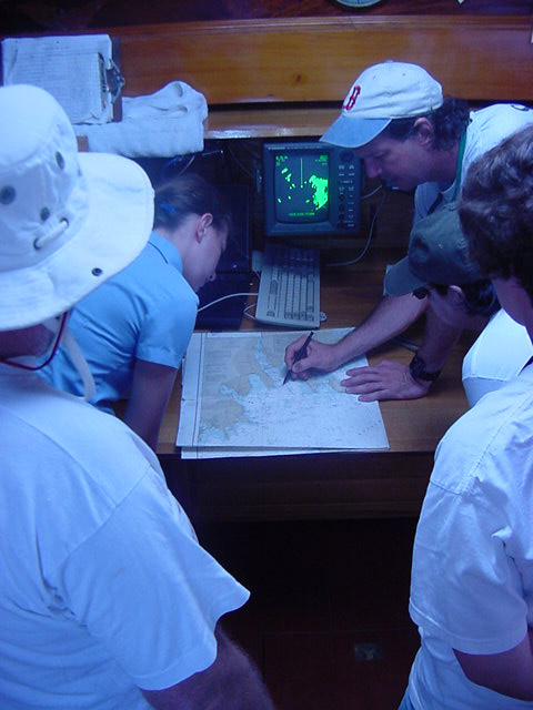
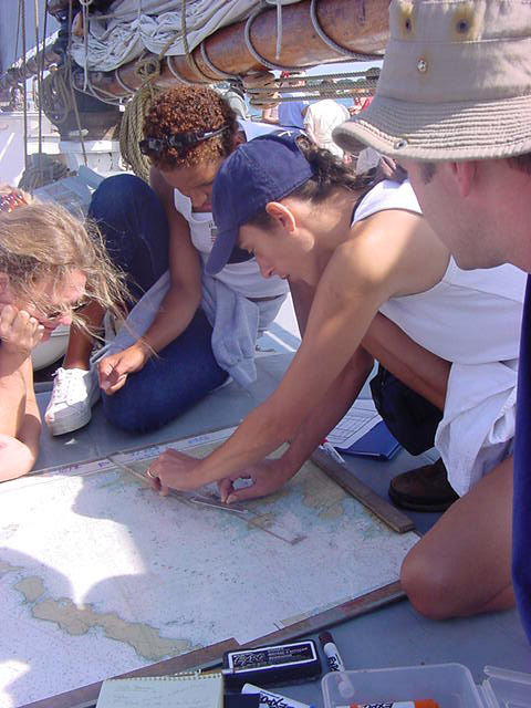
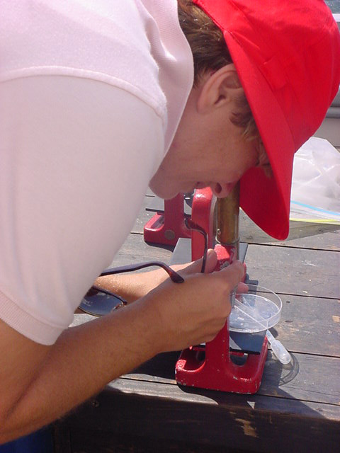
Ernestina Logbook Page Date: Wednesday, August 22, 2001 Maritime Mathematics Summer Content Institute for Teachers
|
|||||
|
||||||
|
Copyright 1997-2001 |
|||||