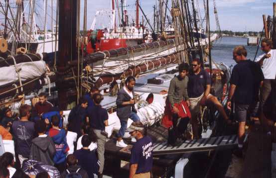
| Fifty-eight
New Bedford middle school students boarded this
morning at 0930 for a daysail focused on themes
of exploration. The New Bedford Global
Learning Charter School opened its doors (located
in the School Administration Building in New
Bedford) this September for the first time. The
school aims at integrating student learning in
the context of the living community and local
environment. Ernestina staffmember Polly Zajac
began mentoring teachers there at our July
Institute in Using the Environment as an
Integrating Context for Learning. So the sail on
Ernestina serves perfectly the missions of both
organizations: the students learn about their
local history and environment in the context of a
living historic and cultural resource.
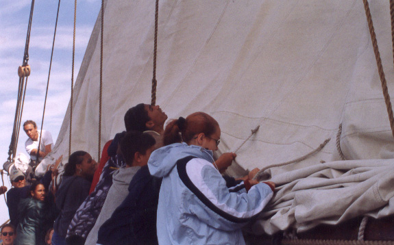
Immediately, students became engaged in life
onboard as they helped to raise the sails. For
several students, even those whose family members
are active in the local fishing fleet, this was a
first-time experience on a sailing boat. For
many, this was a first-time experience out on the
water in any kind of boat. Uncertainty and fears
were on the students’ minds as we left the
dock. Would the boat sink? Would they stay safe?
Engaging in raising sails and coiling down
lines helped some students feel more comfortable
and confident in this unfamiliar environment. The
south-southwest breeze was ample for us to enjoy
a good day of sailing, though we steamed much of
the way out the channel since the wind was too
close on our nose.
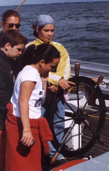
Learning stations got the students thinking
and playing with concepts of wind direction and
sailing theory, orienting ourselves on the globe,
taking a bearing on a chart, exploring in the
arctic, the age of exploration, and bow lookout
and steering the boat. Two Guest
teachers—Carl Herzog, veteran Ernestina crew
member, and Florence Fauerberry, PhD in maritime
history, offered fresh approaches to teaching
their respective stations. Carl sliced oranges
and drew cartoons to help students understand
lattitude and longitude; Florence focused their
attentions on the evolution of sailing vessels
and shipping routes throughout the Age of
Exploration.
After lunch we gathered on the aft deck and
invited students to just listen to the sound of
the boat, with all of us aboard, moving along
through the water under only the power of wind.
Then Engineer Steve Swift provided a historical
perspective on Buzzards Bay, reflecting on life
in the Bay for the last 1000 or so years.
Highlights included the lifestyles and
characteristics of native people, visits by
Vikings, the arrival and settlement here by
Bartholomew Gosnold, changing industries in New
Bedford and changing uses of the Bay. He invited
students to consider their own futures in the
context of future industries and economic changes
in the local region.
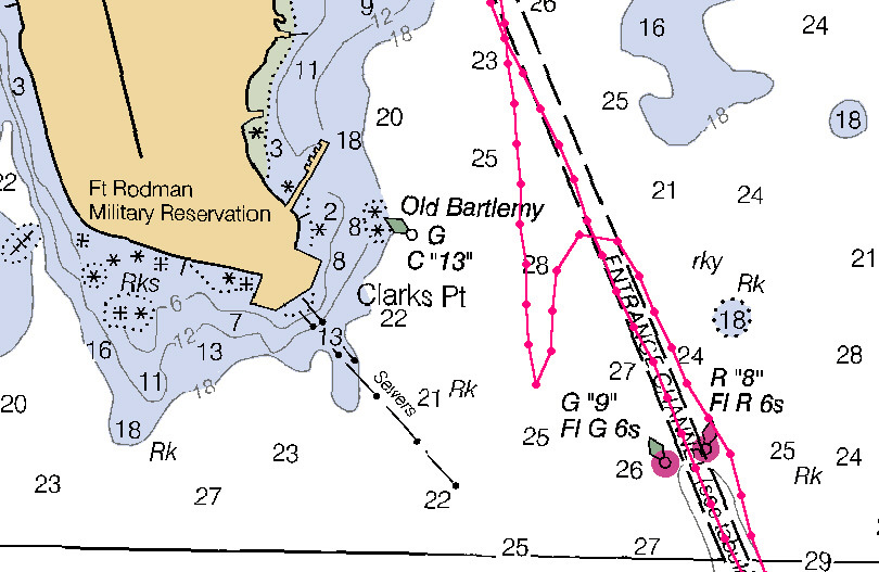
We rounded up off Fort Rodman to strike the
main sail, and sailed into the Harbor under just
the fore, jumbo, and jib. All students helped to
strike and furl the sails, in between their last
two learning stations.
When asked toward the end of the sail what
their favorite part of the day was, some students
had to think about it—and may be thinking
about it some more in days to come. Many
immediately said, ‘Steering the boat."
We all hope that the students’ initial
fears were replaced with knowledge and
confidence, and that today was the first sailing
day in a long partnership between Ernestina and
the New Bedford Global Learning Charter School.
Program Coordinator: MaryHelen
Gunn
Captain: Gregg Swanzey
|
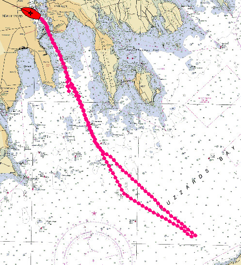 The day's run over to Naushon
Island and back.
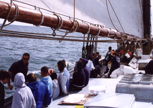
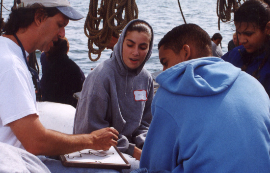
Six learning stations are set up along the
deck of Ernestina as the sails draw.
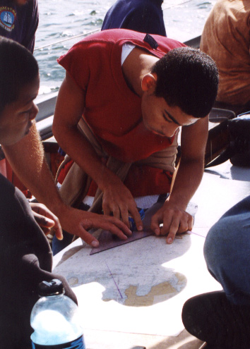
Navigation is one of the stations using
triangles to mark a line of position to fix the
ship's position.
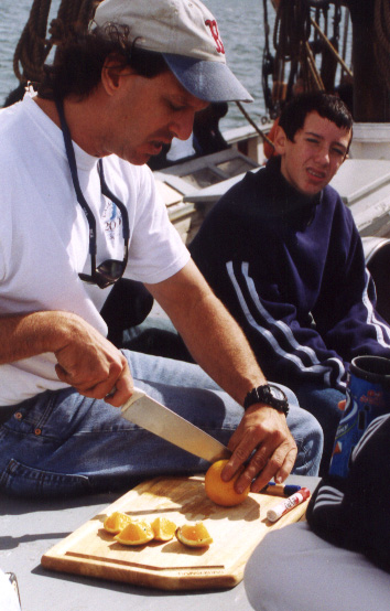
Carl Herzog uses an orange to talk about
latitude and longitude.
How did the explorers get from northern Europe
to the Pacific?
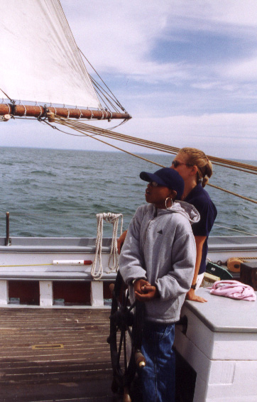
At the helm as the ship sails off the wind
back toward the harbor.
The helmsperson uses the compass to guide the
course.
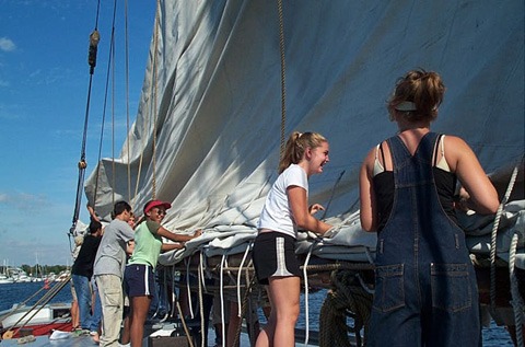
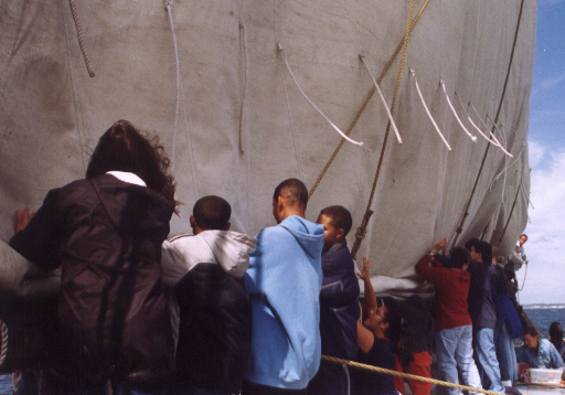
The mains'l comes down with the help of all
hands!
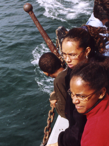
Lookouts up forward watch for ships.
Lookouts signal back to the mate that there is
a ship ahead.
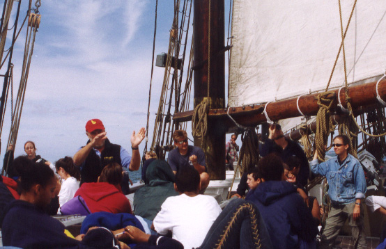
NBGLCS teacher Robby Robinson talks about the
early exploration of Buzzards Bay and Gosnold.
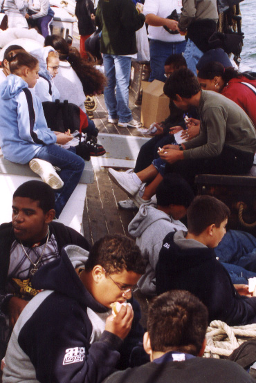
Everyone takes a break for lunch.
The mains'l comes down as students furl the
sail.
More furling.
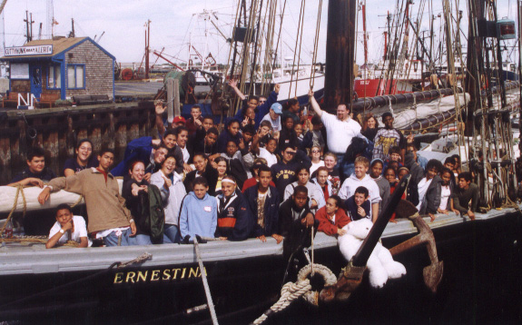
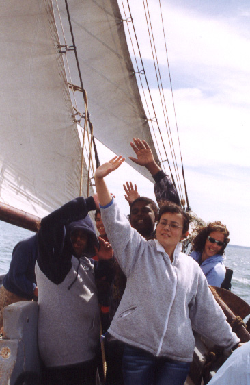
Group photo at Tonnessen Park.
All ashore after a full day.
|